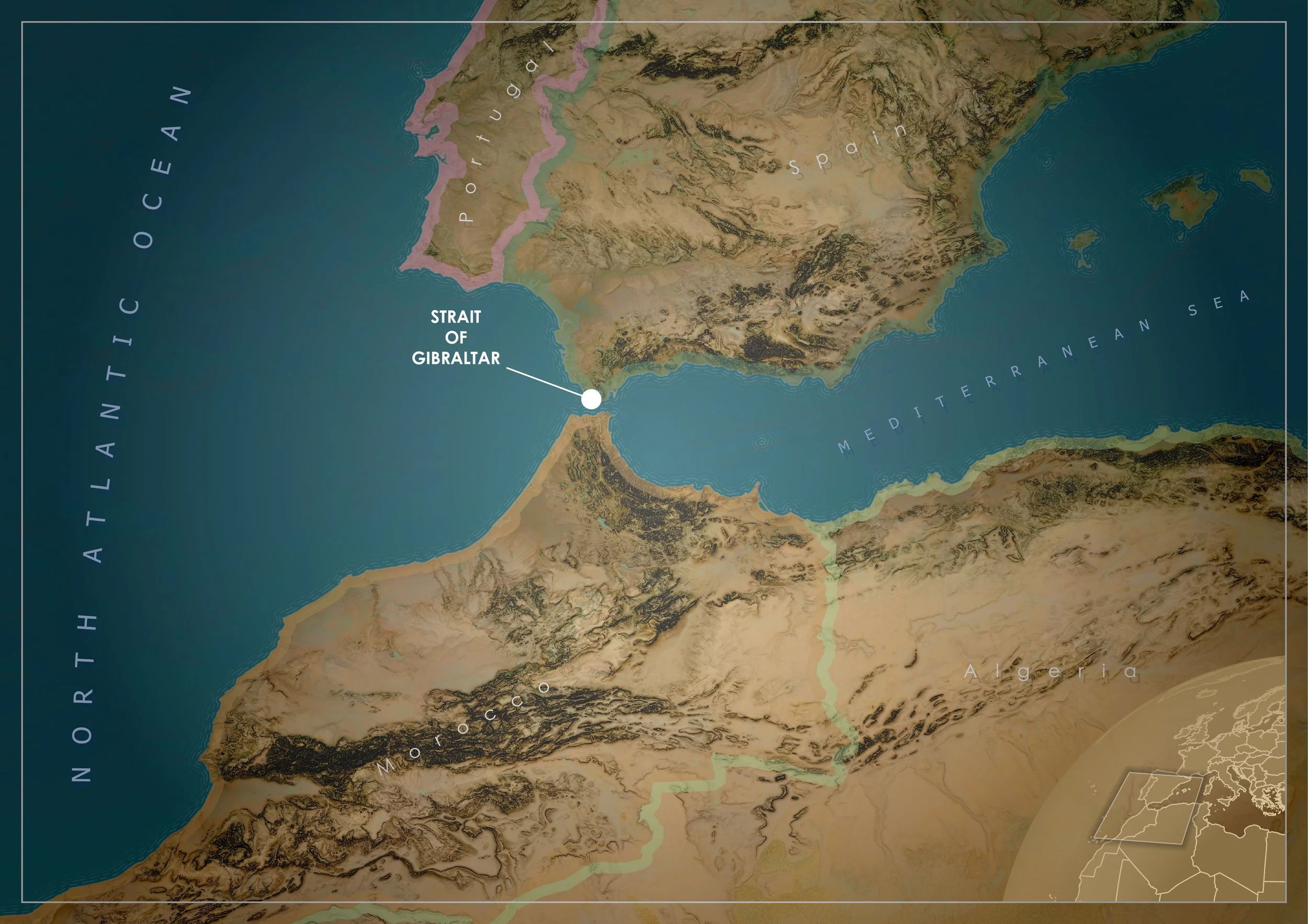
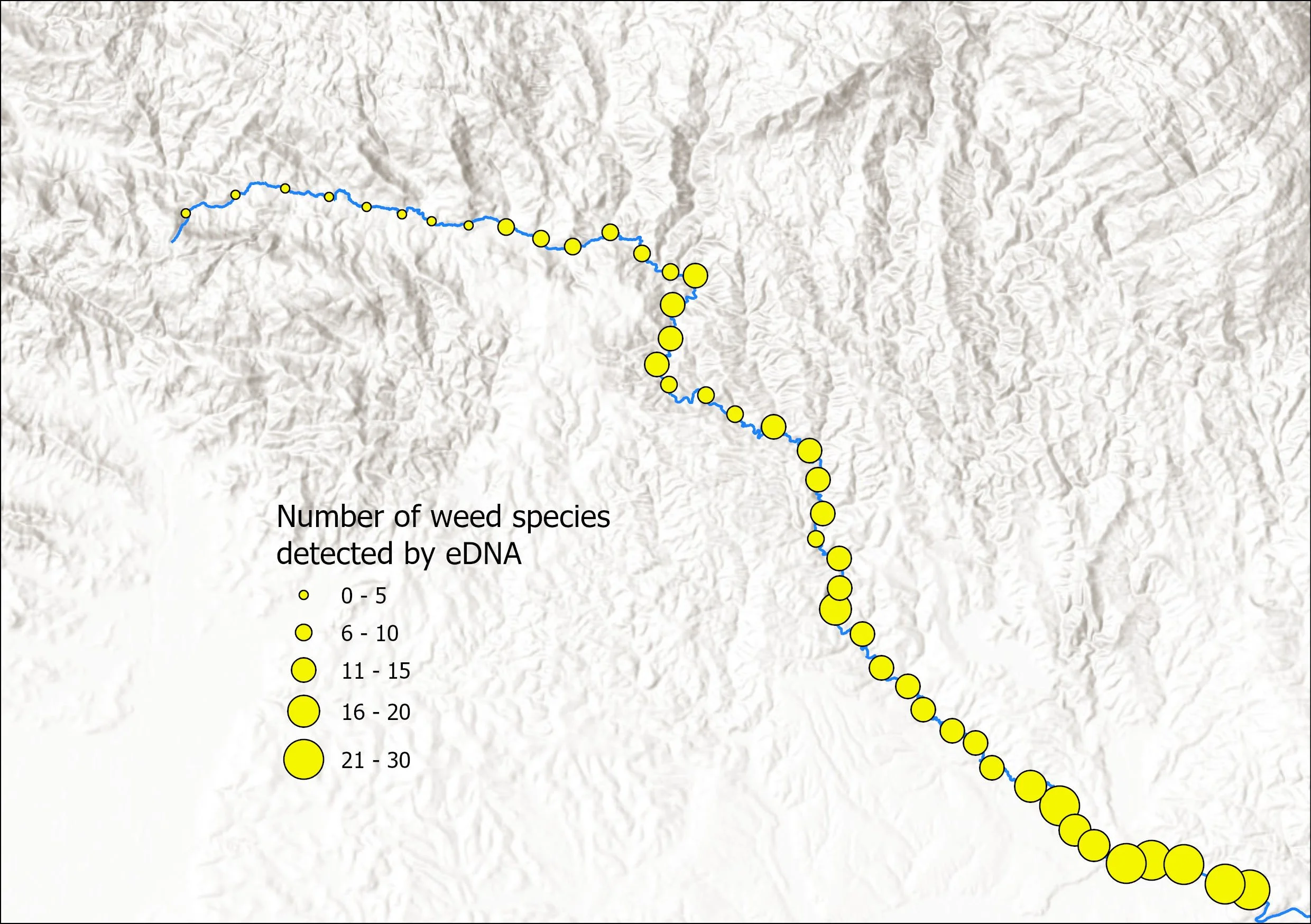
Can environmental DNA (eDNA) help locate invasive weeds along streams and rivers? Learn how metabarcoding and systematic water sampling can support weed detection, ecological surveys, and catchment-scale management.

This glossary brings together practical ecological, landscape and vegetation-management terminology used across Australia, with a strong focus on real-world application. It is designed for ecologists, land managers and planners who work with field assessments, spatial data, restoration projects and state-based native vegetation policy. Rather than being academic or exhaustive, it focuses on the terms practitioners actually encounter, including landscape function concepts, basic GIS language, restoration practice, and the differing regulatory frameworks used by each Australian state and territory.
At TerraLab, giving back is built into the way we work. Through our ongoing donations program, a portion of every hour billed is reinvested into organisations making a real difference; supporting community wellbeing, education, social justice, and compassion. Our current partners include White Ribbon Australia, Children’s Ground, Federation University, Edgar’s Mission, and the Australian Childhood Foundation.
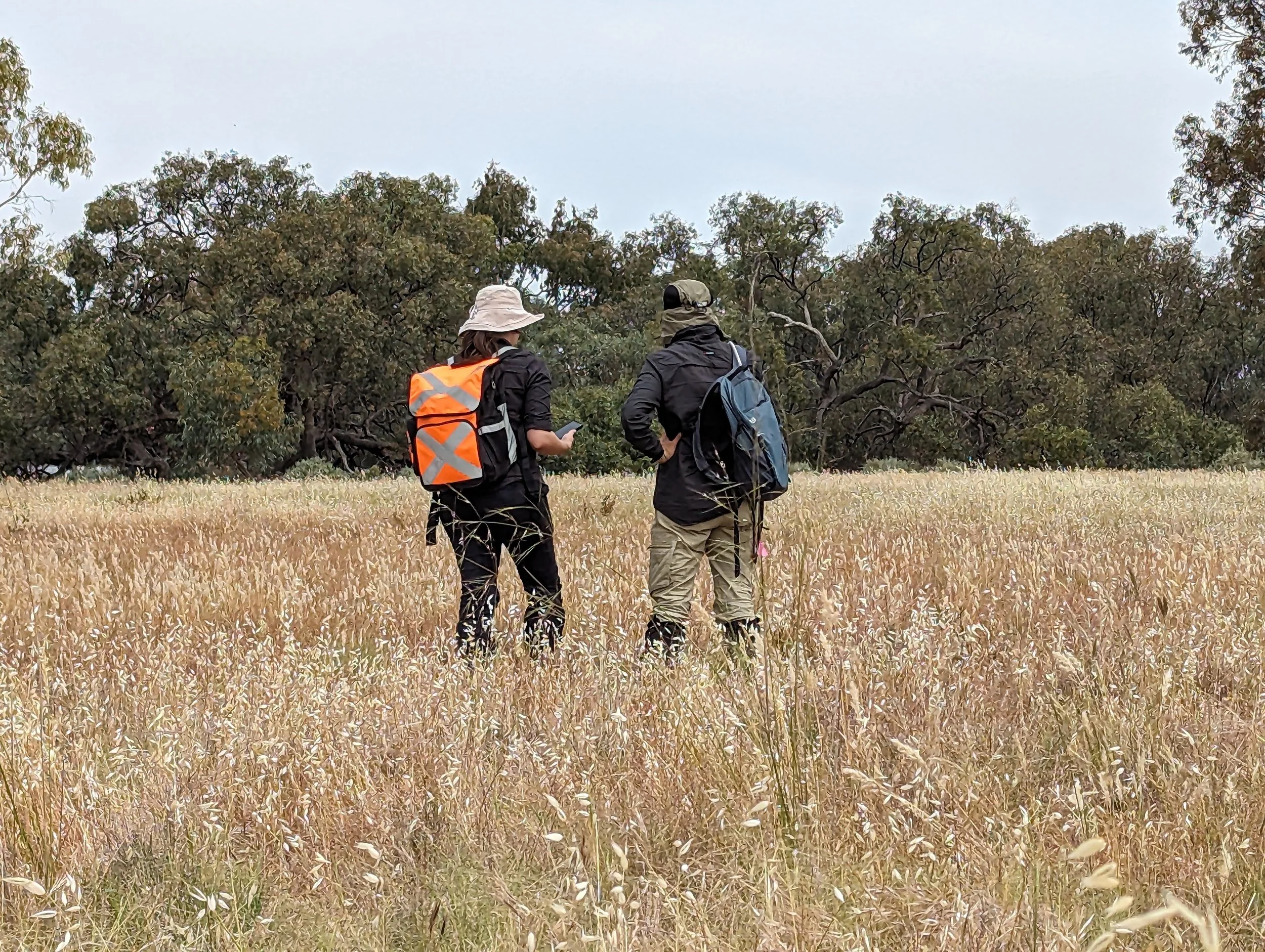
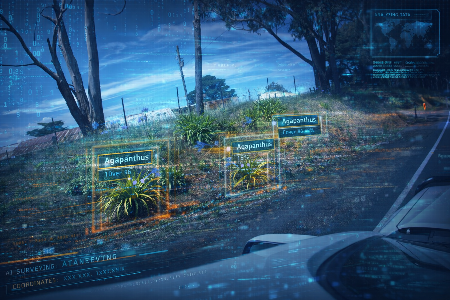
In this article, TerraLab explores how modern AI can support weed surveys and ecological monitoring using geo-tagged imagery, improving repeatability, scalability and data quality. We share real-world testing of AI-assisted weed detection and discuss how this approach can complement traditional ecological expertise.
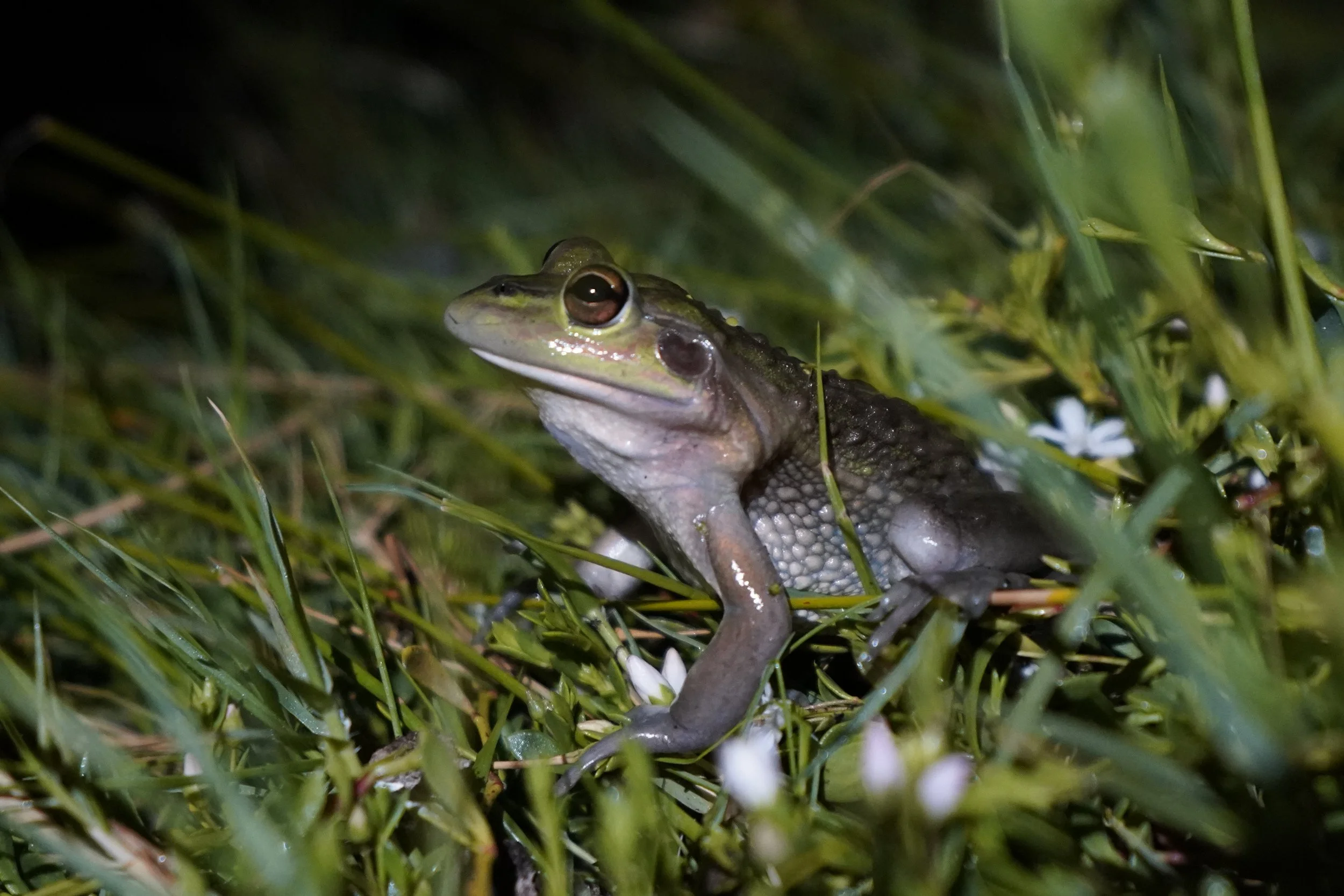
TerraLab now offers eDNA metabarcoding alongside ecological surveys, delivering rapid and comprehensive biodiversity insights. Our Outtrim case study shows how combining eDNA with traditional fieldwork detected over 300 taxa, including threatened and cryptic species, giving land managers a clearer picture of what lives on their land.
TerraLab is now including environmental DNA (eDNA) metabarcoding in all general flora and fauna surveys at no extra cost until the end of the year. This cutting-edge method detects species from trace DNA in water or soil, offering a faster, more objective, and non-invasive way to screen for biodiversity — including cryptic or threatened species. We’re also offering eDNA as a standalone service for just $450, making it easier than ever to bring modern science into your next ecological assessment.
Discover the new STA Explorer — a lightweight, high-performance field data logger for environmental and land management workflows. Featuring USB-C charging, automatic tree planting detection, high-accuracy GPS (PPK-ready), and universal mounting options. Fully compatible with STA Logger systems. Now available for pre-order ahead of the Q4 launch.
Designing a mobile mapping solution for your organisation isn’t just about the platform, schema and data. It involves a process of collaboration with users, managers and setting up processes to ensure everyone is onboard and enthusiastic about its roll out. Afterall, it won’t be very useful if no one uses it. In this blog we impart our experience on the matter.