
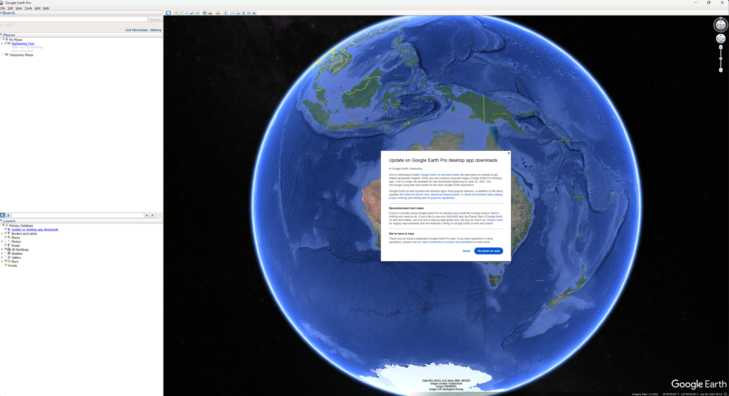
Google has announced that Google Earth Pro for desktop will no longer be available for new downloads from 25 June 2027. Existing users who already have the desktop application installed can continue using it, but Google's focus is clearly shifting towards Google Earth on the web and mobile.
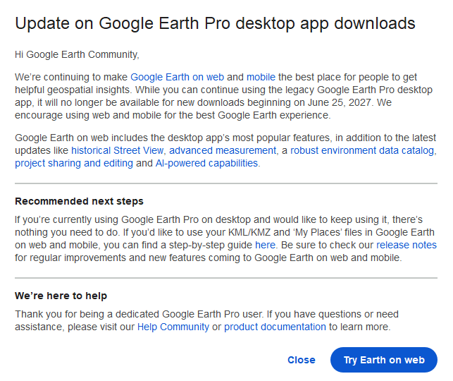
Google Earth Pro desktop retirement announcement
For many people, seeing the announcement has raised questions. Is Google Earth disappearing altogether? Will existing projects still work? Is it time to find another mapping program?
Fortunately, the answer for most users is much less dramatic than the headline might suggest.
Google Earth isn't going away
The important thing to understand is that Google Earth itself isn't being retired. Instead, Google is encouraging users to transition from the desktop application to the browser-based version.
Over the past few years, Google Earth on the web has steadily gained new features. According to Google, it now includes many of the desktop application's most popular capabilities, along with newer functionality such as AI-powered features, environmental data layers, historical Street View and improved project editing and sharing.
For many users, moving to the web version will simply mean changing how they launch Google Earth rather than changing how they work.
Projects can still be created and shared, KML and KMZ files remain supported, measurements can still be made, and the familiar 3D globe experience remains available.
There will undoubtedly be some adjustment, particularly for long-time desktop users, but many day-to-day workflows will continue much as they do today.
Some users may notice the difference
While the web version has come a long way, there are still some workflows that were better suited to the desktop application.
Many environmental consultants, land managers, ecologists and GIS professionals have built up years of local KML and KMZ files, GPS data, overlays and project folders stored directly on their computers. Others appreciated the ability to work with large datasets or without a reliable internet connection.
If your use of Google Earth mostly involves viewing locations, creating simple maps, sharing projects or inspecting aerial imagery, the web version will likely meet your needs.
If your workflows are more advanced, you may find yourself looking for additional tools over time.
A good opportunity to explore other mapping software
One advantage of Google's long transition period is that there is plenty of time to experiment.
Rather than waiting until you have to change, this could be a good opportunity to broaden your mapping toolkit while you still have the desktop version available for comparison.
There are several excellent free mapping applications available, each with their own strengths.
Google Earth on the web will be the natural choice for many users and is the closest replacement to the desktop experience.
ArcGIS Earth offers a familiar globe-based interface and supports KML and KMZ files, making it an attractive option for organisations already using Esri software.
QGIS is one of the world's most widely used open-source GIS platforms. While it has a steeper learning curve than Google Earth, it offers significantly more analytical capability and is used extensively by consultants, councils and environmental organisations.
Other free viewers and web mapping tools are also available depending on your workflow, particularly if your focus is satellite imagery or open mapping data.
The best option depends less on which software is "best" and more on what you actually use it for.
Professional GIS users have even more options
For organisations that rely heavily on spatial data, Google Earth has often been just one part of a much larger workflow.
Professional GIS platforms such as Esri's ArcGIS suite provide capabilities that extend well beyond viewing maps. They allow organisations to collect field data, perform sophisticated spatial analysis, manage enterprise datasets, automate workflows, build dashboards and securely share information across teams.
These platforms do come with licensing costs and a greater learning curve, so they won't be the right choice for everyone. However, for organisations already managing large spatial datasets or making operational decisions from mapping data, they can provide significant productivity gains.
Looking ahead
Google Earth has been one of the most influential mapping applications ever developed. It introduced millions of people to satellite imagery and made geographic information accessible to users who may never have considered themselves "GIS users."
Its desktop application has enjoyed an impressive lifespan, and for many people it has become an everyday tool.
While its retirement marks the end of an era, it doesn't necessarily mean the end of familiar workflows. For many users, transitioning to Google Earth on the web will be straightforward. For others, it may be the perfect opportunity to explore new software and discover tools that better suit their needs into the future.
As with any technology change, the earlier you start exploring your options, the smoother the transition is likely to be.
If you need assistance exploring your mapping options, feel free to reach out to us.