mapping, spatial analysis, ecological assessments.

TerraLab
Geospatial and environmental consultants

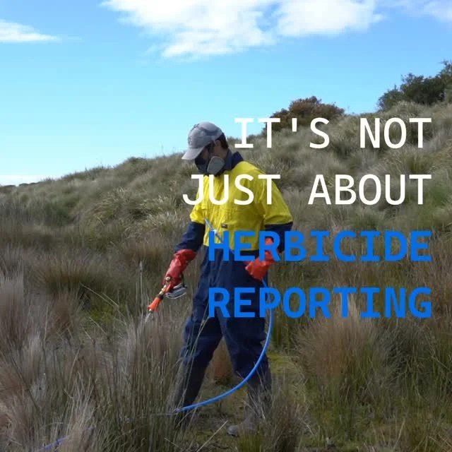
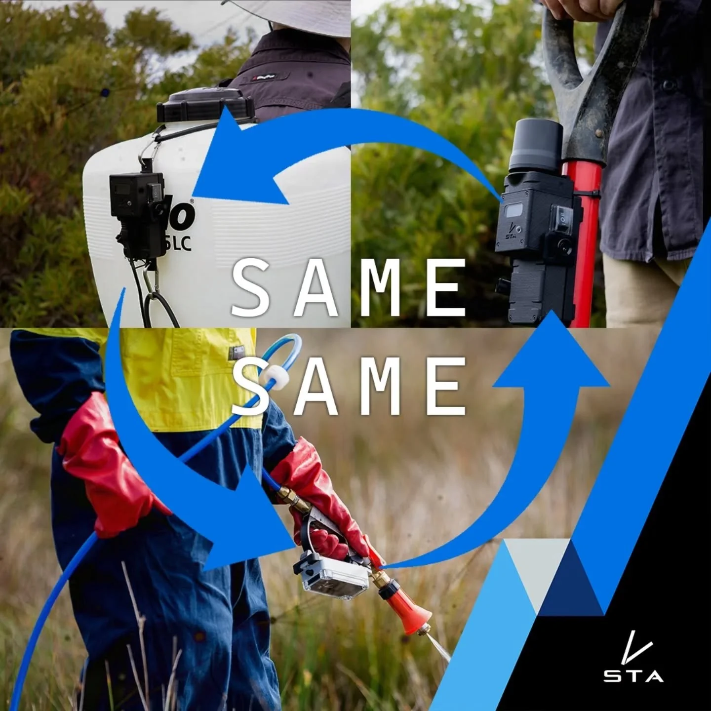
Streamline mapping system for Forestry and conservation
Our projects have been for …


GIS and the Environment …
At TerraLab, we specialise in the intersection of environmental consulting and geospatial science, where mapping meets ecological expertise. Our work shows time and again that these two disciplines are most effective when used together — each enhancing the other.
By partnering with TerraLab, you gain access to:
- Accurate spatial data
- Specialist environmental knowledge
- Advanced GIS tools and expertise
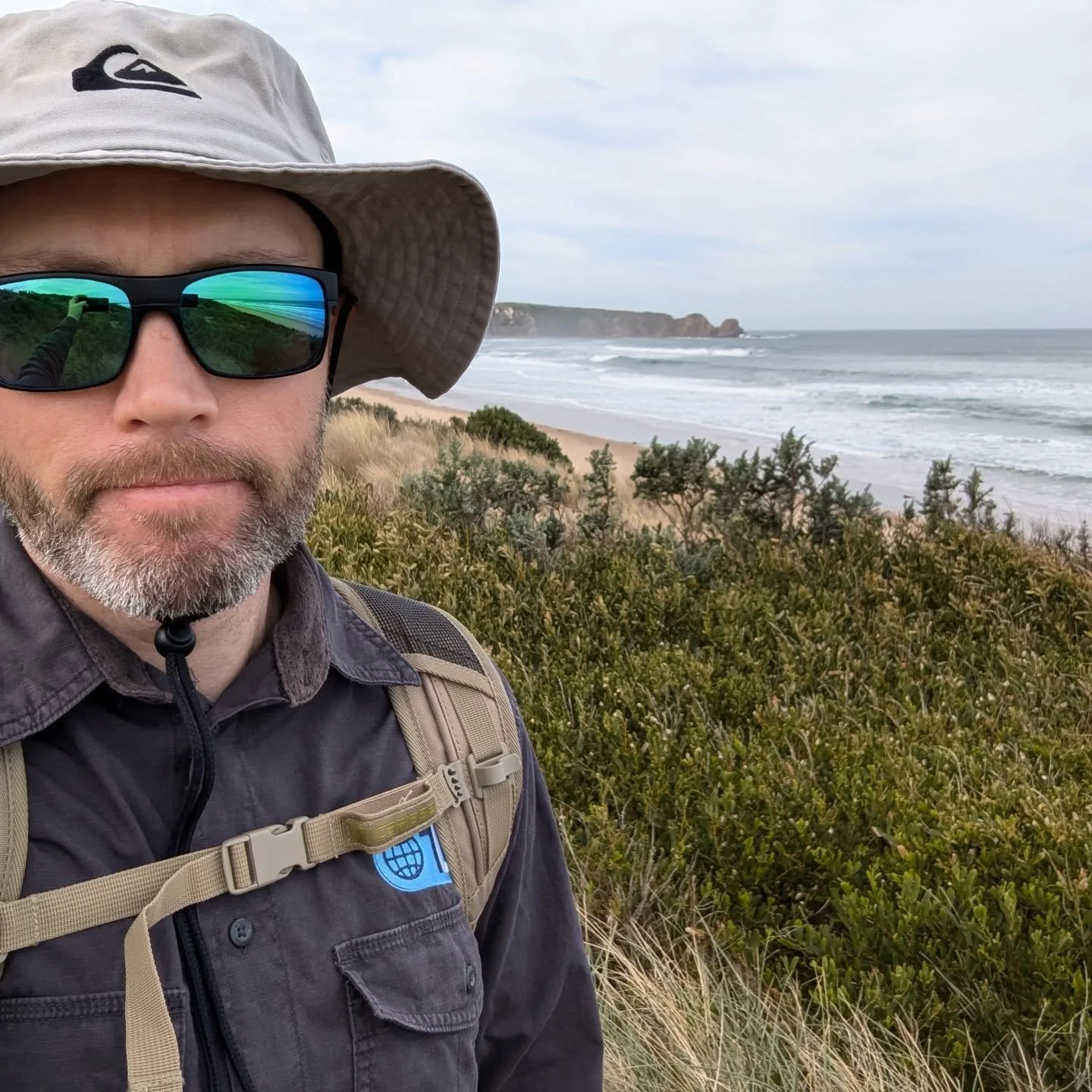
TerraLab is based south east of Melbourne but we deliver solutions across Australia — from remote sensing and GPS mapping to vegetation surveys and ecological advice.
Read more about TerraLab, explore our services, or contact us.

Consider TerraLab for …
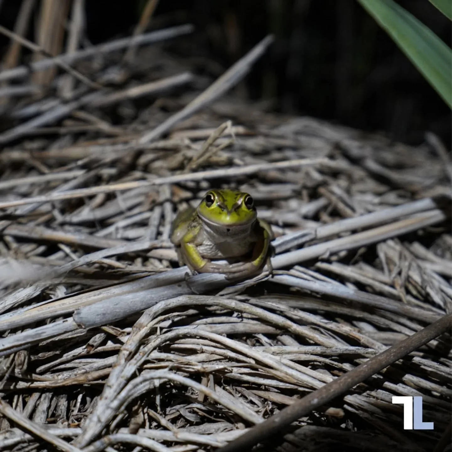
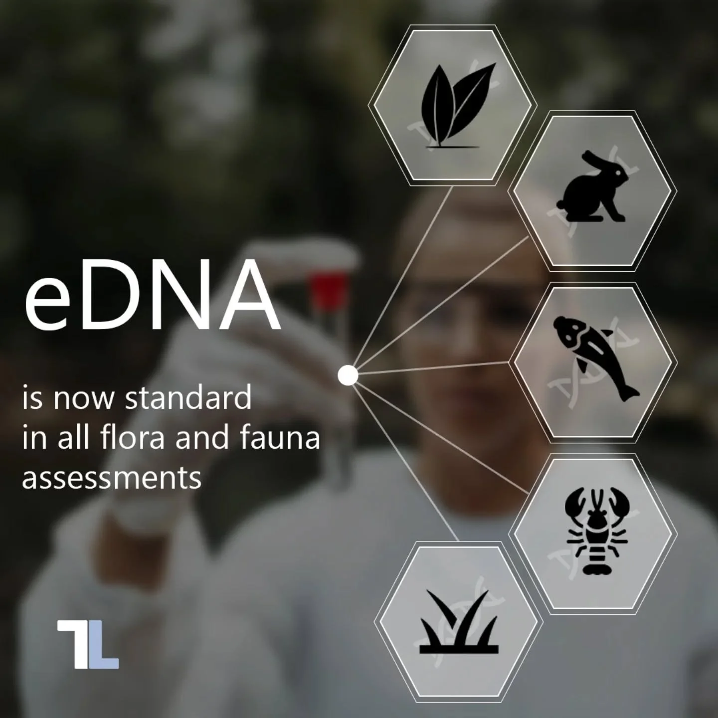
Ecological consultancy including flora and fauna assessments, vegetation quality assessments and policy advice.
Cartography and map making for reports, for the web and for cartographic publication.
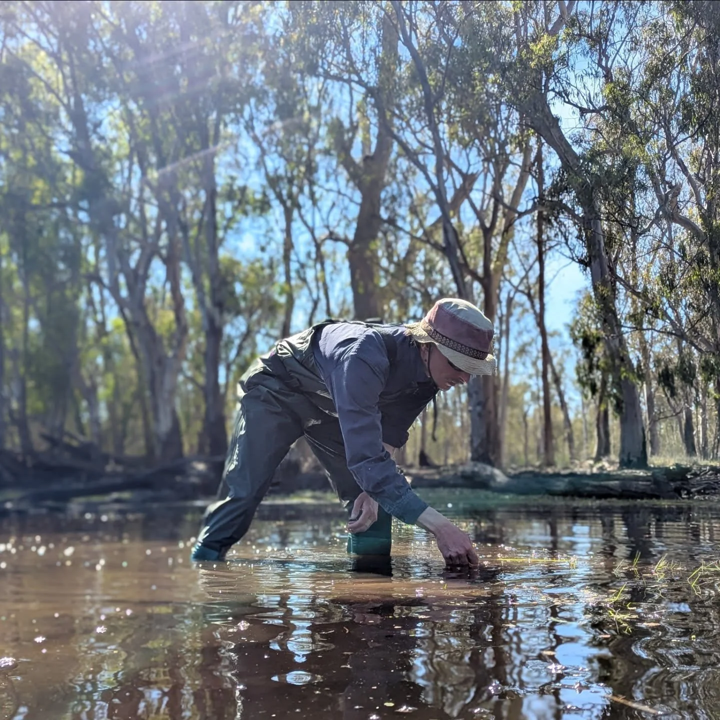
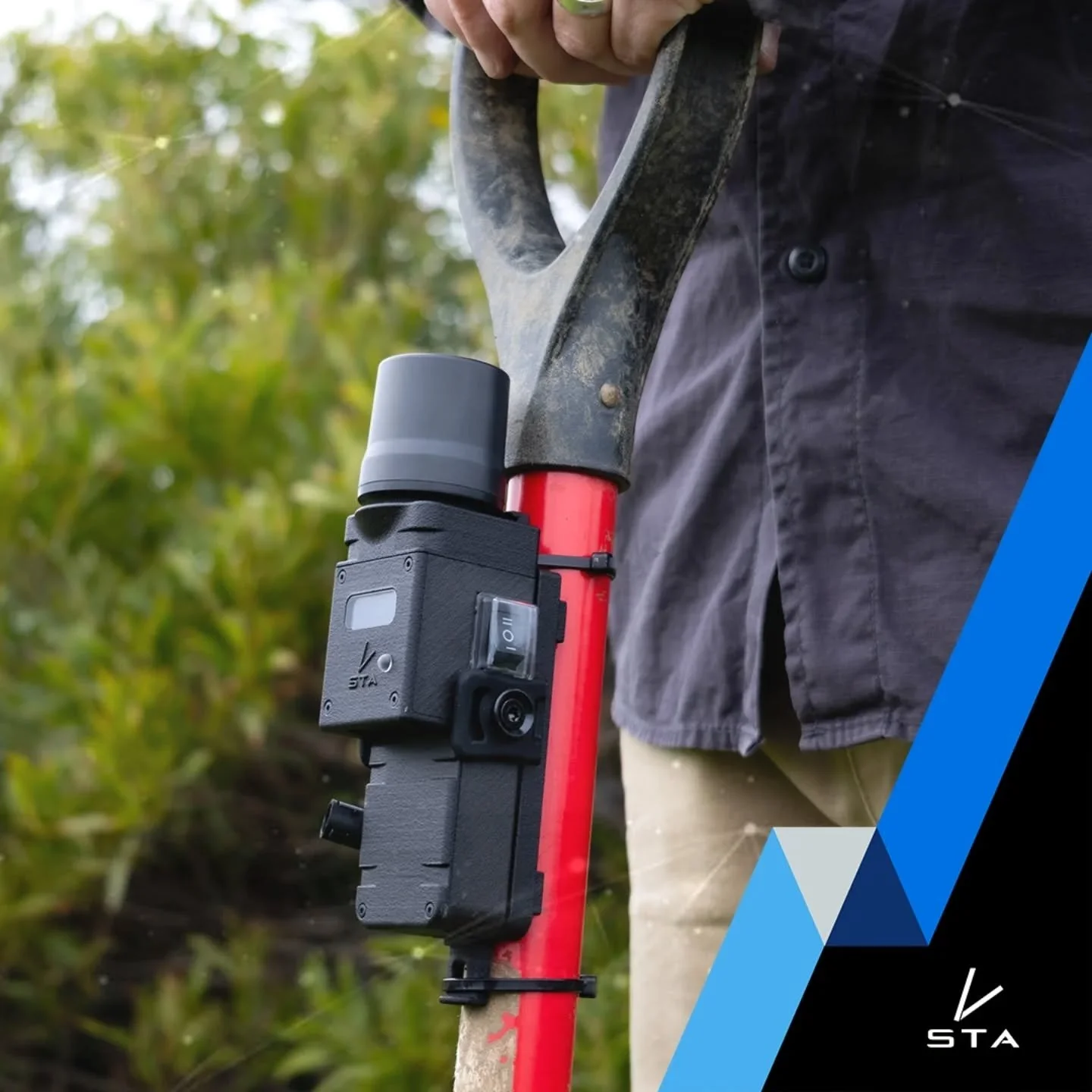
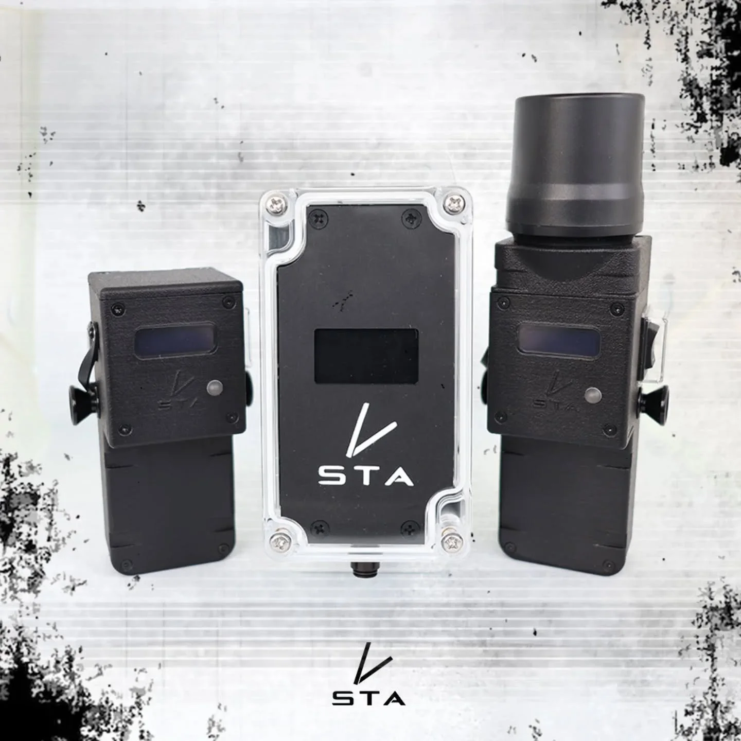
High-accuracy GPS mapping so you can leverage our know-how, spatial hardware and resources.
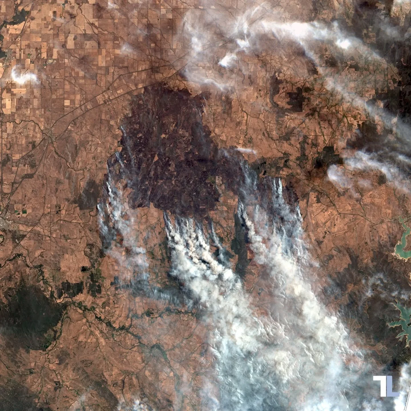
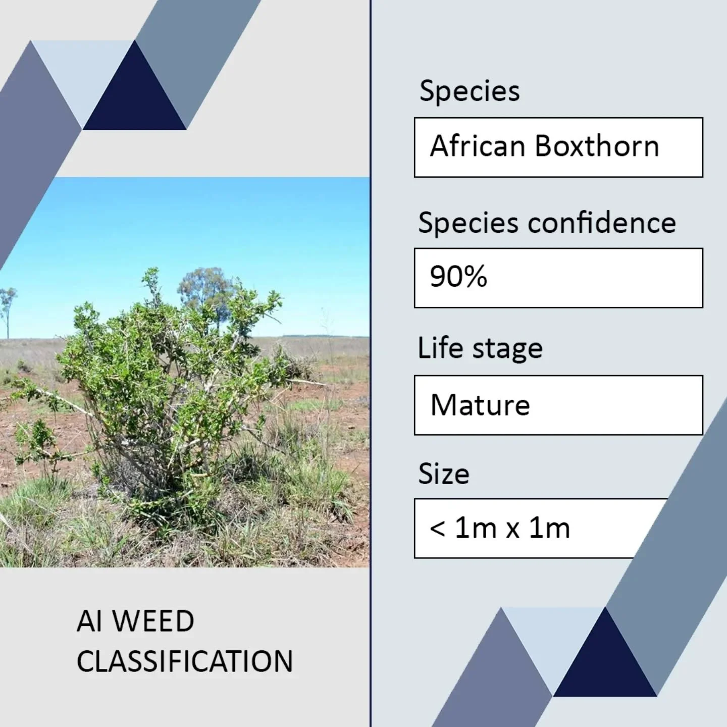
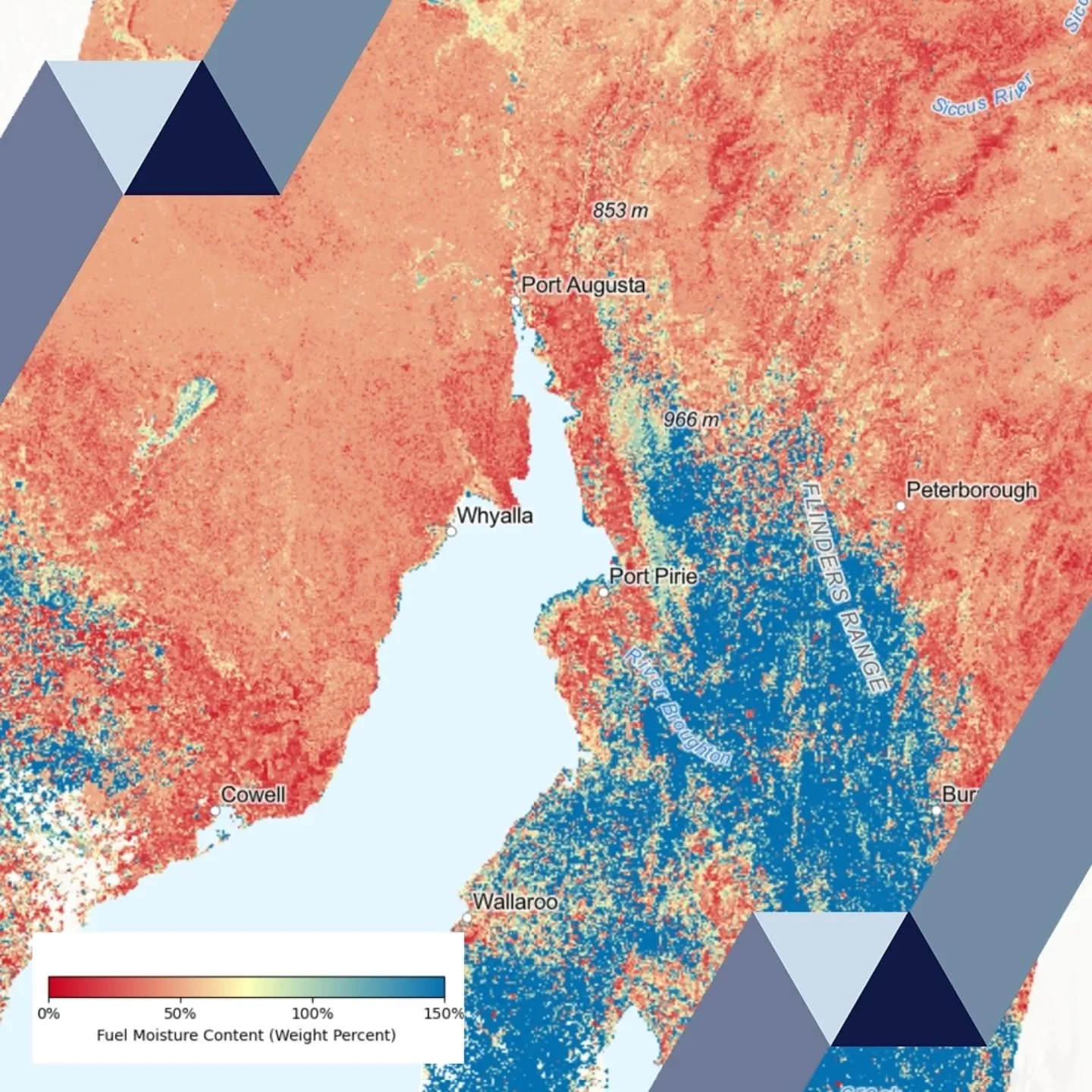
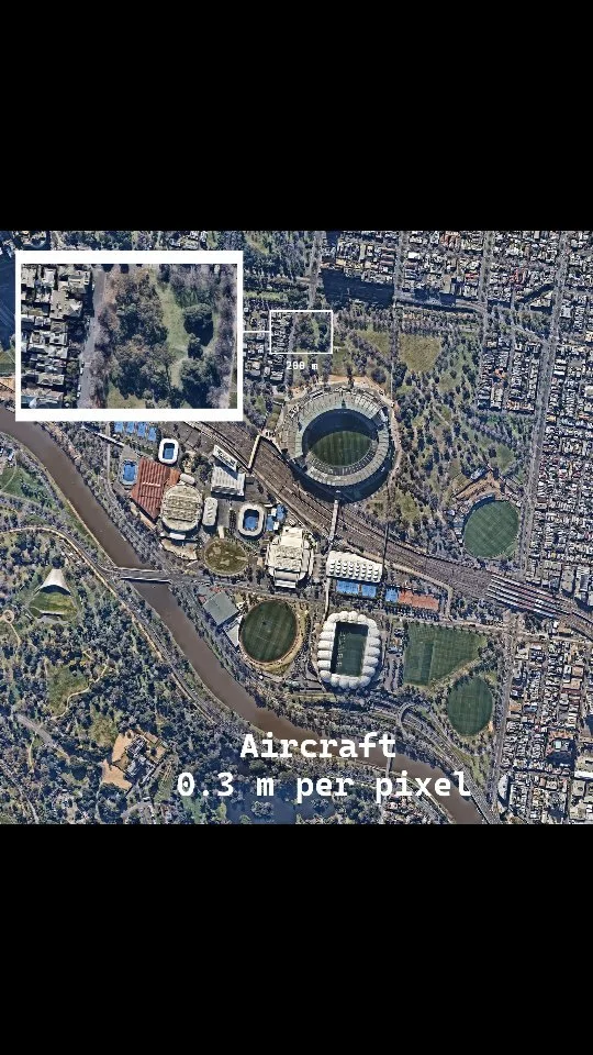
Remote sensing (drones, planes, satellites) - collection, analysis and interpretation.
Location data systems so you can do your own mapping, team management and analysis.
GIS training and team support so you can upskill your team to provide mapping services.
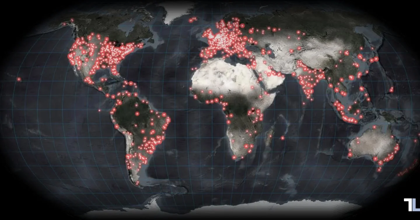
See what we’re up to on Instagram …