
Imagery - Historic and current
We get it. It’s tempting to screenshot web maps or reuse online imagery. But that approach often introduces copyright issues, visible watermarks, and unreliable data quality.
Instead, let TerraLab help you source authoritative and fit-for-purpose imagery tailored for your project, legally acquired, and delivered in a professional format. We procure aerial and satellite imagery from a wide range of sources, including:
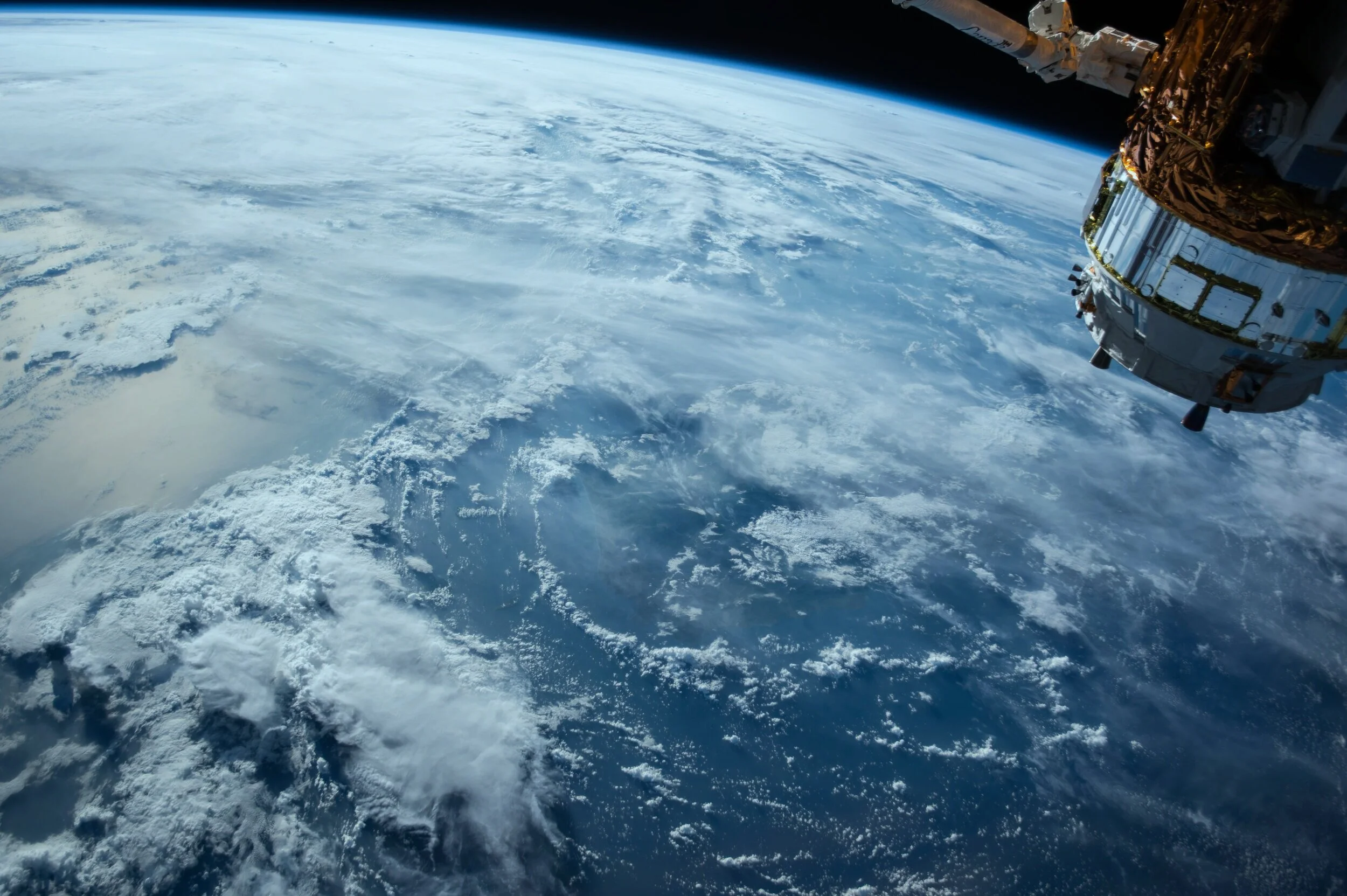
Satellites — global coverage, 10m to 1km resolution
Manned aircraft — regional coverage, 1m to 100m resolution
Drones — highly detailed site coverage, 1cm to 1m resolution
We deliver imagery in formats to suit your workflow: JPEG, PDF, or GeoTIFF, ready for analysis or use in reports, web apps, or spatial databases.
Whether you need:
Aerial photography from 1960
Multiband satellite imagery from last week
Or custom drone capture tomorrow
… We’ll find it, process it, and deliver it.

Remote Sensing
Let our remote sensing specialists extract insights from imagery - no boots on the ground required.
Remote sensing uses data captured by sensors mounted on drones, planes or satellites to derive information beyond what’s visible to the naked eye. We can analyse single-band, multispectral, hyperspectral, or LiDAR data to support a wide range of applications, including:
Vegetation health and biomass modelling
Soil moisture and salinity mapping
Surface temperature and heat island analysis
Burn area and post-fire assessments
Solar energy potential
Atmospheric and water body analysis
We tailor every analysis to your project objectives and deliver outputs as maps, reports, or ready-to-use GIS layers.
Send us a message …
Remote Sensing of Invasive Weeds
Objective:
To map and quantify the distribution of a specific weed species across a large site without requiring full ground-based surveys.
Approach:
TerraLab acquired near-infrared and visible spectrum imagery using aircraft and drone platforms. Small training areas were mapped on the ground using GPS tools developed in-house by TerraLab, creating a dataset to “teach” a classification model how to identify the target weed species from the imagery.
The model then produced predictive distribution maps for the entire site. To validate accuracy, random sampling points were generated and visited in the field. Presence or absence data from these sites confirmed the model’s reliability.
Result:
The client gained an accurate, repeatable method for quantifying weed cover saving hundreds of hours in labour. The process enables future monitoring using remote sensing to track progress and guide long-term weed control efforts.
Drone-Based Monitoring of Mine Site Rehabilitation
Objective:
To design a cost-effective, repeatable method for monitoring key ecological indicators on rehabilitated mine sites.
Approach:
TerraLab combined expertise in ecology and remote sensing to develop a drone-based monitoring workflow, drawing on current scientific literature and CSIRO methodologies. The system used low-cost drones equipped with near-infrared sensors and high-accuracy GPS units to capture imagery across rehabilitated areas.
The data was processed using desktop GIS software to generate spatial outputs aligned with ecological benchmarks including vegetation cover, species composition, and biomass indicators.
Result:
The resulting method enables the client to monitor extensive rehabilitation zones efficiently, with significant cost savings compared to manual fieldwork. The system is now being implemented as part of their long-term environmental compliance and performance strategy.
Save time in the field and get the insights you need from above — contact us to get started.
What We Offer:
Our imagery and remote sensing services help you capture, analyse, and interpret geospatial data from satellites, aircraft, and drones. Whether you're monitoring land condition, assessing vegetation health, or planning site rehabilitation, TerraLab delivers reliable insights from above.
Data Acquisition & Processing
We source and process high-quality imagery from:
Satellite data (e.g. Landsat, Sentinel, MODIS, ASTER, VIIRS)
Aerial imagery providers like NearMap, MetroMap, and other global archives
Drone surveys, including orthomosaic production and photogrammetry
We deliver imagery in formats suited to your needs (GeoTIFF, JPEG, PDF), with options for historical, current, or multi-band datasets.
Remote Sensing & Spectral Analysis
We process and interpret data from:
Multispectral and hyperspectral imagery
LiDAR datasets (Light Detection and Ranging)
Spectral indices for vegetation, water, fire, soil, and built-up areas
Common indices include:
Vegetation: NDVI, EVI, SAVI, GNDVI, Red-edge Chlorophyll Index (CIre), and more
Water: NDWI, NDMI, NDSI
Fire: Burn Area Index (BAI), Normalized Burn Ratio (NBR)
Urbanisation: Normalized Difference Built-up Index (NDBI)
Soils & Minerals: Iron oxide, clay and ferrous mineral ratios
Image Classification & Machine Learning
We apply both supervised and unsupervised classification methods to derive land cover, vegetation types, and other features of interest, using algorithms such as:
Maximum Likelihood
Support Vector Machines (SVM)
Random Trees
Minimum Distance classifiers
Remote Sensing Applications
Our methods support a wide range of practical uses, including:
Agricultural health assessment and precision farming
Bushfire risk analysis and post-fire mapping
Coastal erosion and waterway health monitoring
Land use classification and change detection
Mine exploration and rehabilitation tracking
Soil composition and surface moisture analysis
Topographic and bathymetric mapping