
Scale your data collection to your needs
Need reliable, accurate field data without managing the logistics yourself? TerraLab provides end-to-end field mapping services using the latest hardware, software, and GIS expertise.
Whether you're mapping assets, vegetation, heritage sites, or terrain, we scale our workflows to your project and budget. So you get the data you need, when and where you need it.

Choose Your Accuracy Level
We offer flexible data collection options to match your project’s precision and cost requirements:
Consumer-grade (~3m): Ideal for basic mapping where high precision isn’t critical
GIS-grade (<1m): A balanced solution for most environmental, planning, and infrastructure applications
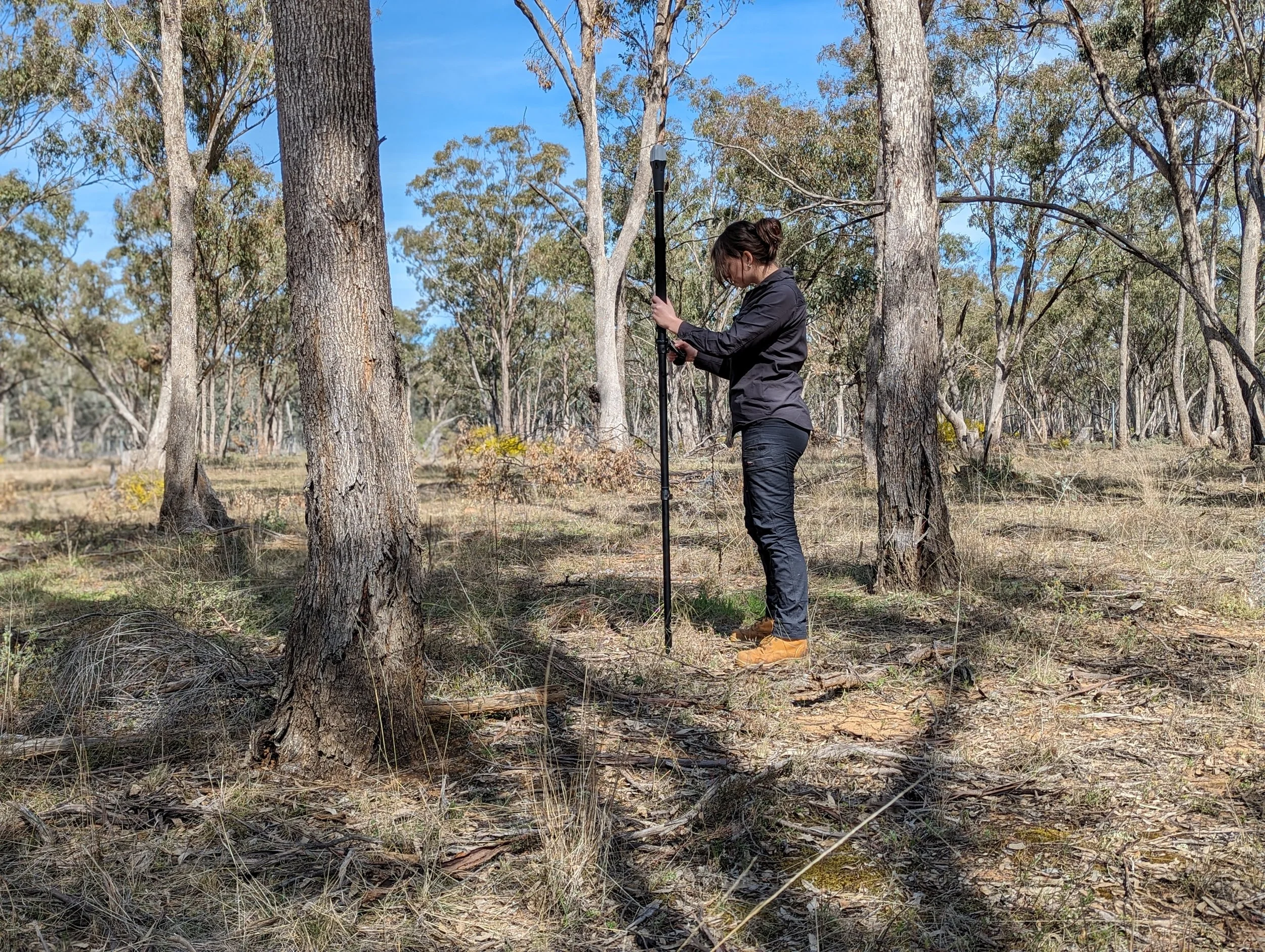
Survey-grade RTK (~1cm): For engineering, legal boundaries, and high-precision monitoring
Availability may vary based on your project location.
What We Map
Fixed asset surveys (street furniture, signage, fencing, pipes, electrical assets)
Ecological features, including EVC boundaries, significant trees, and habitat zones
Cultural heritage sites, including archaeological digs and artefact mapping
Topographic surveys, including terrain modelling and contour generation for planning and design
Send us a message …
Archaeological Field Survey
Objective:
Map the boundaries and key features of an Aboriginal artefact site to support planning and protection.
Approach:
Using high-accuracy RTK GNSS equipment and TerraLab’s mobile mapping workflow, field data was captured on-site and automatically synced to our GIS system. This ensured immediate availability for map production and reporting.
Result:
The client received a precise map of the site to support sensitive planning and ensure the artefacts were protected during future development.
Threatened Species Monitoring
Objective:
Track population changes of rare flora species using accurate, repeatable field methods.
Approach:
We designed a consistent data collection methodology using Esri Field Maps and RTK GPS. This eliminated inconsistent workflows (e.g. handwritten notes, spreadsheets, multiple apps) and enabled all field ecologists to record data to the same standard.
Result:
The team now has a clear, quantitative record of population changes over time, supporting long-term monitoring and species recovery planning.
Skip the equipment hire and data headaches — let us handle your field mapping from start to finish.
What We Offer
Our field mapping services are backed by precision hardware, flexible software, and deep technical expertise giving you reliable, high-quality spatial data in any environment.
High-Accuracy Positioning
We use a full suite of positioning technologies to ensure the right accuracy for your needs:
Multi-constellation GNSS (GPS, GLONASS, Galileo, BeiDou, IRNSS, QZSS)
Real-Time Kinematic (RTK) and Post-Processed Kinematic (PPK) workflows
Precise Point Positioning (PPP) for remote or infrastructure-light sites
Satellite-Based Augmentation Systems (SBAS), including SouthPAN in Australia
Hardware Platforms
We work with a range of professional-grade GNSS receivers including:
Trimble
EOS Arrow
Emlid Reach
Garmin
Bad Elf
This allows us to select the best-fit tool based on your project’s accuracy needs, terrain, and budget.
Field Mapping Software
Our team is experienced across leading data collection platforms, including:
ArcGIS apps (Field Maps, Survey123, Collector, QuickCapture, Explorer, Workforce)
QField for open-source workflows
Avenza Maps, SW Maps, Mapbox, Global Mapper Mobile, and GIS Cloud
We’ll tailor your data collection system to match your goals, whether that’s syncing with your existing GIS or delivering maps ready for immediate use.