
Services

Geospatial consultancy
Turn spatial data into actionable insight.
TerraLab provides expert geospatial consulting for organisations needing support with spatial analysis, GIS problem solving, remote sensing, or the design of spatial data systems. Whether you're streamlining workflows or uncovering patterns in your data, we’ll help you get there faster.

Ecological Assessments
Where field science meets environmental policy.
Our ecologists bring technical expertise and policy understanding to every flora and fauna survey, vegetation assessment, and ecological report. We ensure your project meets compliance and contributes meaningfully to conservation outcomes.

Cartography
Professional map making for digital, print and web.
Skip the cost of mapping software and tap into TerraLab’s expertise in cartographic design. We deliver high-quality maps for reports, web applications, and spatial storytelling—tailored to your audience and purpose.

Imagery and remote sensing
Powerful data without setting foot on site.
From drone mapping and satellite imagery to historical aerial photography, TerraLab offers comprehensive remote sensing services for environmental monitoring, land use analysis, and change detection.

GIS training
Build your team’s spatial capability.
Whether you’re adopting GIS for the first time or improving your existing skills, we offer tailored GIS training and support. Learn how to manage data, create maps, and run spatial analysis with confidence.

Mapping and data collection
Precision mapping tailored to your needs.
From general mapping to sub-metre and centimetre-accurate GPS data, TerraLab offers scalable solutions for your project size and accuracy requirements. Ideal for ecological surveys, asset mapping, and spatial audits.

Mobile Mapping
Bring the power of GIS into the field.
Capture and manage spatial data in real time with TerraLab’s mobile mapping solutions. Track assets, log fieldwork, automate reporting, and integrate seamlessly with your existing GIS.

Drone Services
Flight, data, and everything in between.
Whether you need us to fly the mission or just process the data, TerraLab’s drone mapping services are flexible and cost-effective—no software subscriptions or drone ownership required.
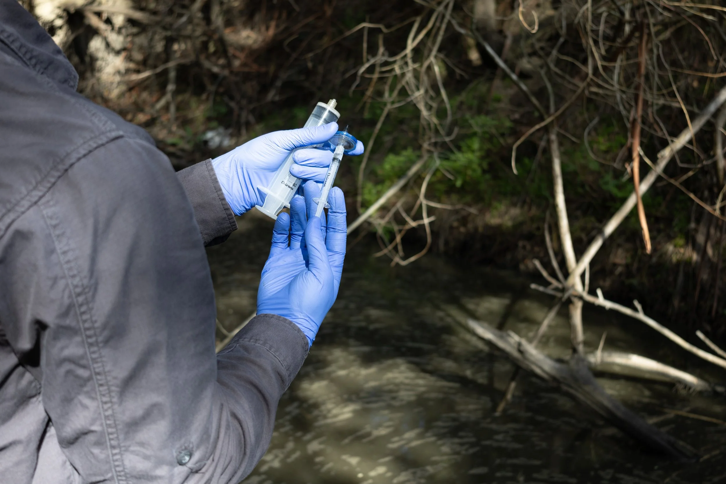
eDNA
Sampling, analysis, interpretation and ecological experience.
Leverage the benefits of eDNA, while also combining the tried and true methods of ecological assessments to increase the power of your analysis.