About TerraLab
TerraLab is a specialist in Geographic Information Systems (GIS) and Environmental consultancy based in the Bass Coast region of Victoria, on Bunurong country.
TerraLab specialises in solving complex environmental and geospatial problems and conducting analysis on your data. By harnessing the power of GIS, TerraLab is well established to solve traditional business and research problems from a geographic perspective.
When planning your project, consider TerraLab for:
Environmental assessments and approvals.
Rapid and custom cartography (map making) including traditional print maps as well as contemporary web and interactive maps;
Obtaining data about your site quickly and cheaply without even setting foot on ground using remote sensing (satellites) or drones;
Designing a data management solution so you can remotely manage your workforce and get instant data from the field;
Sourcing historic and current aerial imagery from existing databases or procuring new aerial data from drones;
Using our data library or your data for modelling in a flat, 3d or 4d world.
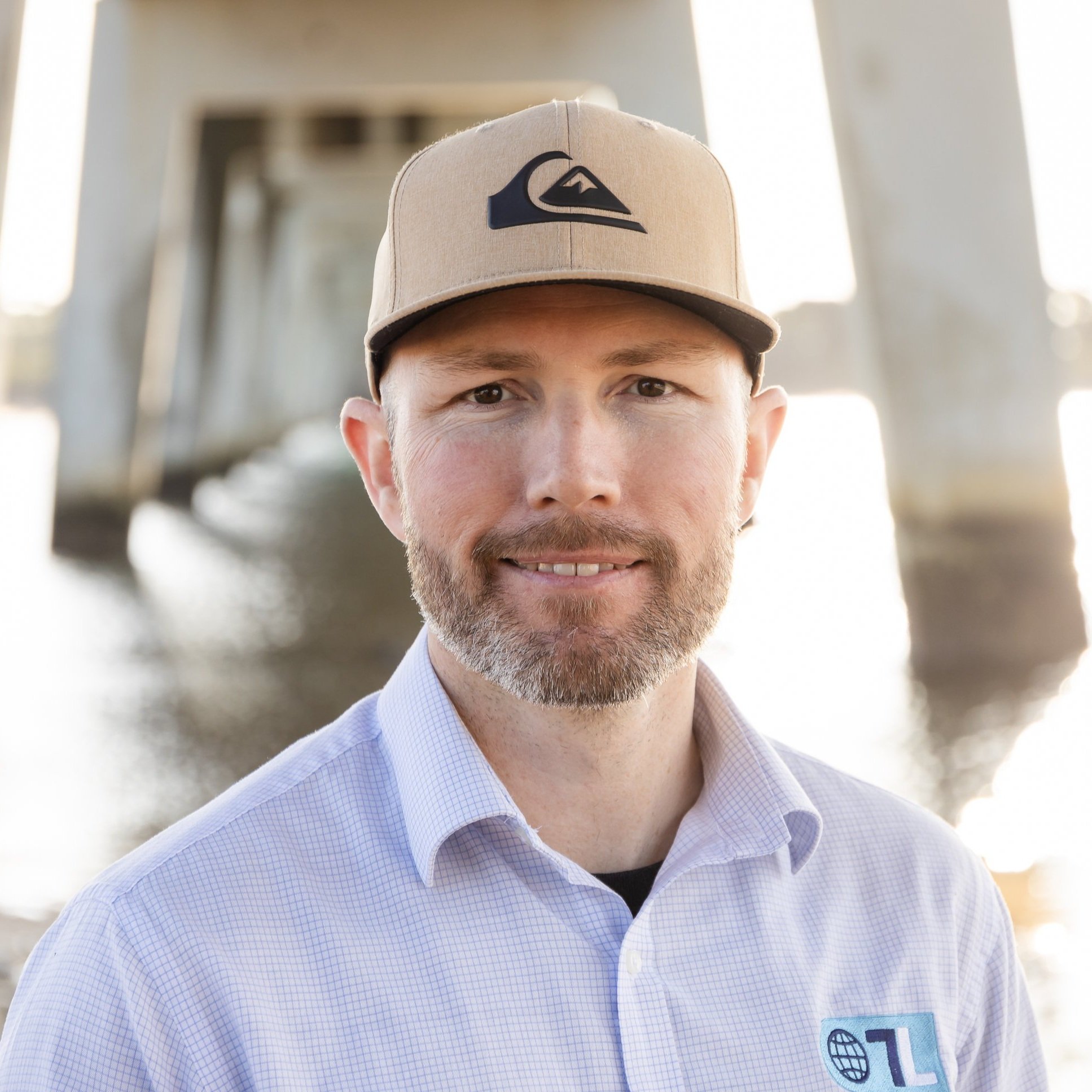
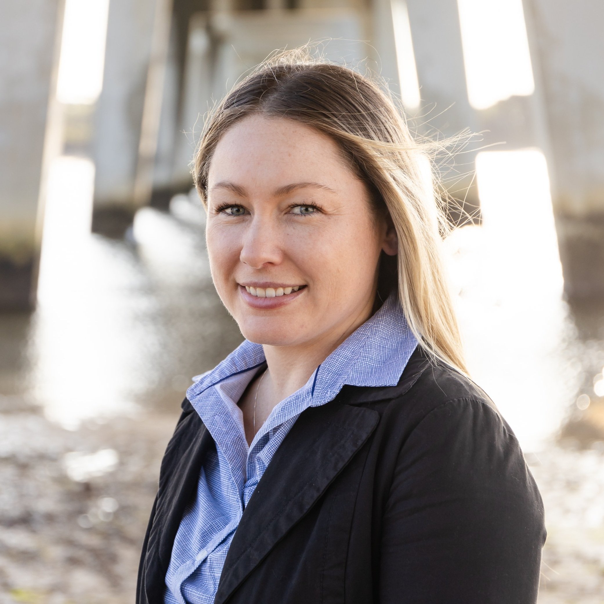
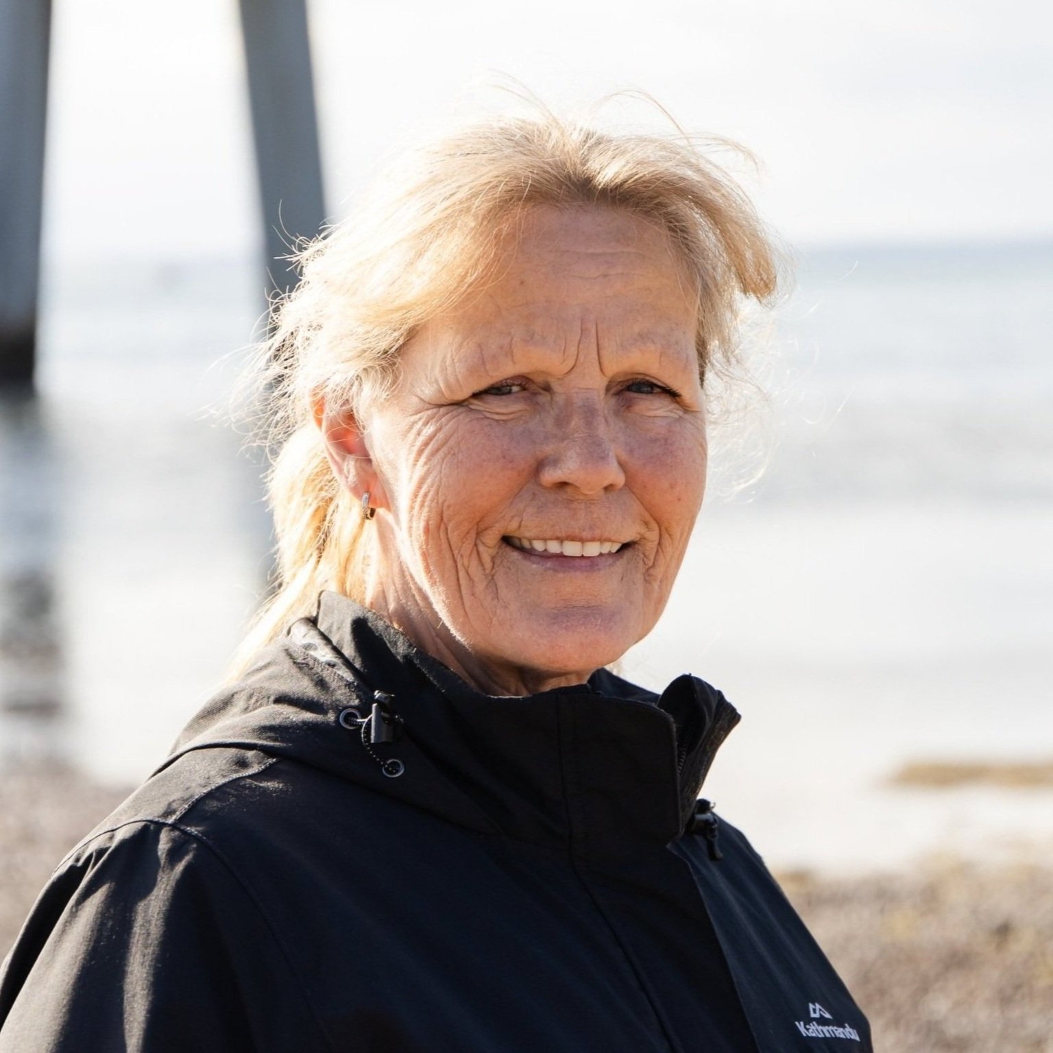
Our Team
What is important to us:
TerraLab is an inclusive place and has a Social Policy that supports our communities. We aim to make our workforce diverse including people with disabilities, mature aged people, members of the LGBTIQA+ community, those from culturally diverse backgrounds and those who identify as Aboriginal or Torres Strait Islander.
We have an Environmental Sustainability Policy and monitor our organisations impact on the environment. We strive to improve our performance year on year.
Recognition
During 2022 and 2023, TerraLab received four industry awards for Innovation, including the (Australian) National Innovate with NBN Award.
