

Paper Towns
For centuries, cartographers have used a variety of techniques to protect their intellectual property and catch copycats. One such technique is the inclusion of "paper towns" on maps - fictitious towns or other features that are added to a map as a kind of watermark or trap for would-be thieves.
The origins of paper towns date back at least to the 16th century, when cartographers began adding intentionally misspelled or misnamed features to their maps as a way of identifying unauthorized copies. Over time, paper towns evolved to become more elaborate, with fake towns, rivers, mountains, and even entire islands appearing on maps.
One of the most famous examples of a paper town is the fictional town of Agloe, New York. In the 1930s, mapmakers Otto G. Lindberg and Ernest Alpers created Agloe as a way of protecting their map of New York State from copycats. They placed the town on a rural dirt road in the Catskill Mountains and labeled it as a "copyright trap." To their surprise, the town began appearing on other maps, and eventually, a general store was built at the intersection where Agloe was supposed to be. Today, Agloe is a real place, albeit a very small one, thanks to the power of cartographic trickery.
While paper towns were once a common tool of cartographers, they have become less useful in the digital age. With maps now widely available online and easily copied and manipulated, paper towns are easier to spot and remove. Moreover, the rise of AI technology has created new risks and opportunities for mapmakers and cartographers.
Artificial Intelligence in cartography
One of the most promising applications of AI in cartography is the creation of synthetic training data for machine learning models. Machine learning algorithms can be trained to analyze satellite imagery, but they require vast amounts of data to achieve high levels of accuracy. By using AI to create fake satellite images, researchers can create a virtually limitless supply of training data, which can help to improve the performance of these models.
However, the use of AI to create fake maps also raises concerns about the potential for misuse and disinformation. Just as deepfakes - AI-generated videos that appear to show real people saying or doing things they never did - have been used to spread misinformation and propaganda, fake maps could be used to manipulate public opinion or obscure the truth.
For example, a malicious actor could use AI to create a fake map that shows a nonexistent island or military base, in order to sow confusion or distract attention from a real-world conflict. Similarly, a political campaign could use fake maps to create the appearance of support in certain areas or to spread false information about their opponent's positions.
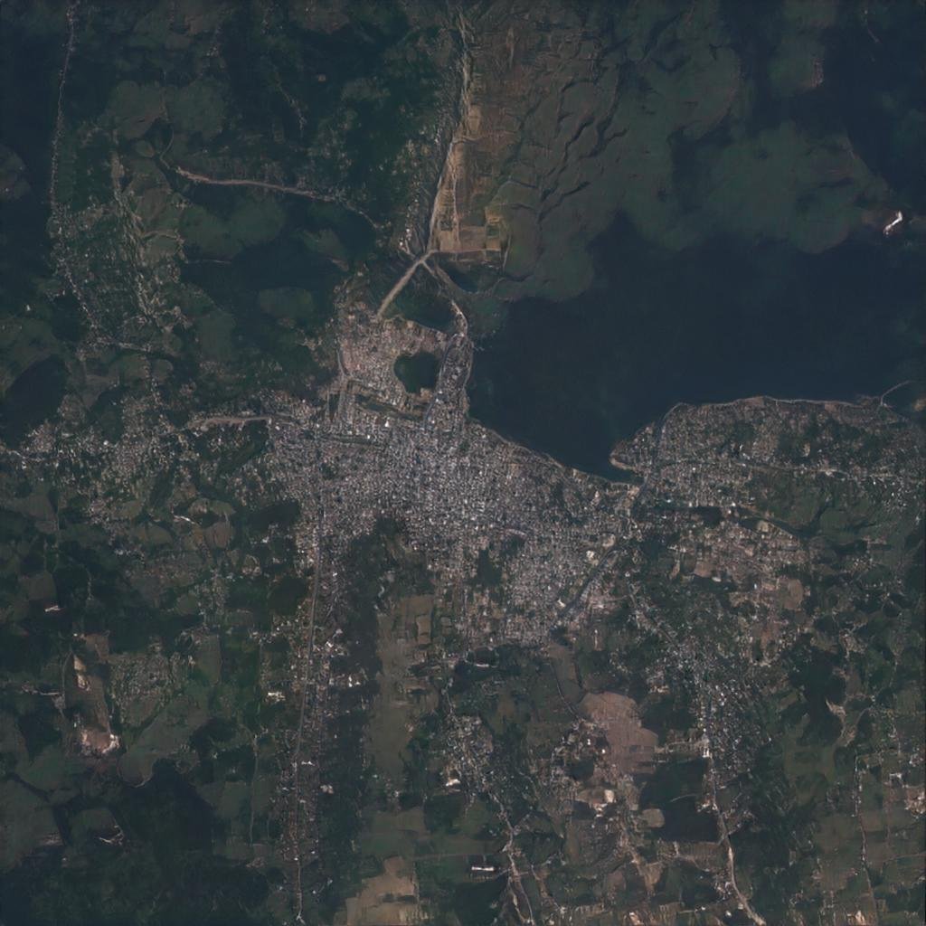
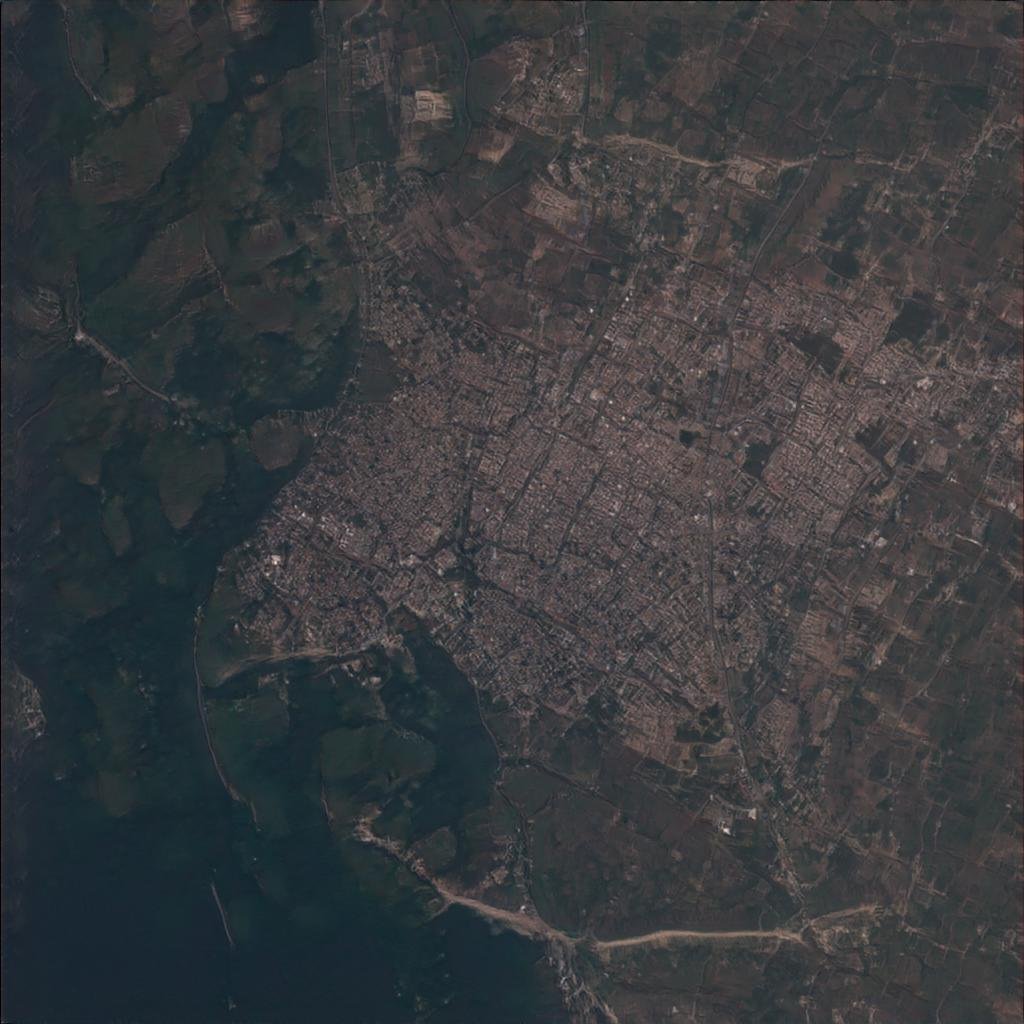
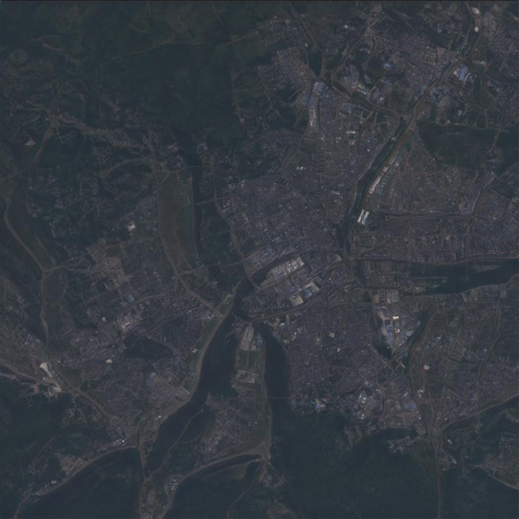
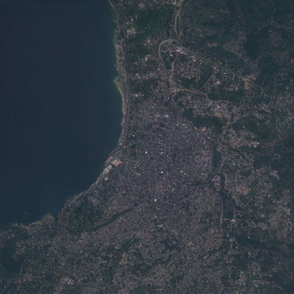
Here are some fake satellite images we generated from thiscitydoesnotexist.com
Overall, the use of paper towns and other cartographic tricks has a long and storied history, but the rise of AI technology has created new challenges and opportunities for cartographers and mapmakers. While the use of AI to create fake maps offers the potential for improved machine learning models, it also carries significant risks in terms of disinformation and manipulation. As with any technology, it is important for developers and researchers to consider these risks and work to mitigate them as much as possible.
To demonstrate the point, most of this blog was written using AI.