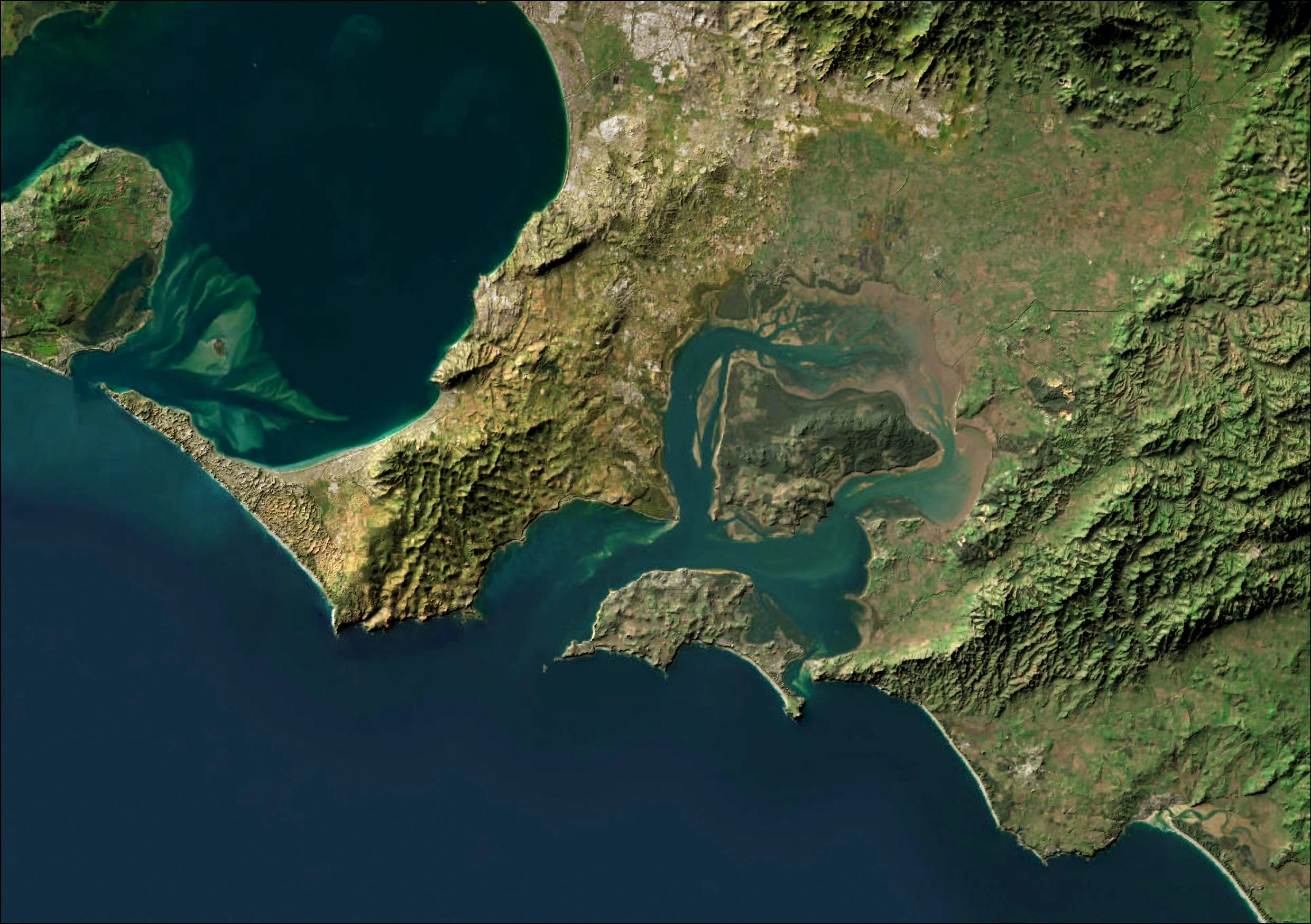
In this blog post we discuss the history of “paper towns” in cartography - Fake towns put on maps to trick would-be copycats. Now we have to be aware of completely fake maps generated from AI.
ArcGIS Online backups
The 3-time award winning STA logger
Coastal Mapping
The Coastline Paradox
Desktop simulations of ecological sampling
Mobile phones and mobile GIS
Identifying Strzelecki Gum
The case for custom, tourist information maps
How to perform a suitability analysis
Choosing the right GNSS for your GIS needs
There is some fantastic expertise in the GNSS hardware sector who know the technical specifications of their products to an amazing level. And while we do know the concepts of location products to a great level, TerraLab are not that. What we can offer is a wealth of experience in using these products in different industries and different real world applications. By understanding your organisational needs, we can guide you through the pro’s and con’s of your available options, which includes price.


